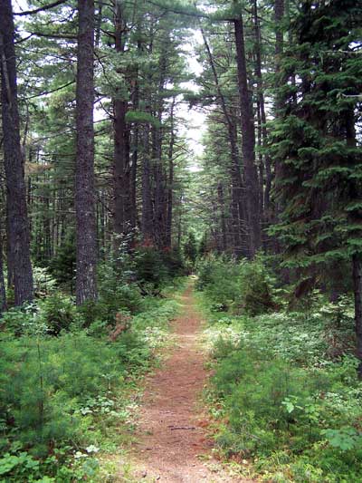
Beaubear's Island path, July 2004
It is intriguing to ponder the reason, in spite of the habitation and industry over the past 300 years, this island always returns to its original, uninhabited state. It almost seems that Fate does not allow permanent human habitation here.
Events have conspired to ensure that both Beaubear's Island and Wilson's Point opposite will never again have permanent residents. The island, left to Parks Canada by the late Lieutenant-Governor J. Leonard O'Brien was officially opened in 1979 as a National Historic Park, according to Mr. O'Brien's wishes. The Point adjacent now belongs entirely to the provincial government and is the "Enclosure Provincial Park."
Sitting under a large pine tree on the still and peaceful island, one goes back in imagination to the 1600's when the island and the Miramichi in general was inhabited by Micmac Indians and a few French settlers. Then the island was called Quoomeneegook (Pine Island) or Niktawaak (at the river forks).
In 1682, Nicolas Denys, governor of Acadia, gave his son Richard Denys de Fronsac the power to conduct business for him in Acadia.
Richard Denys established Fort Fronsac which consisted of a wooden fort with eight cannon, a house and other buildings, surrounded by a palisade formed of stakes. Early maps indicate the establishment was located opposite the west end of Beaubear's Island on what is now Boise Cascade Canada Ltd. property. A privateer from the New England States is said to have destroyed this fort in 1690 when Denys was away.
Records indicate that a burial ground existed at Beaubear's Point before 1685.
By 1750 the island and the point opposite were populated by emigrant Acadians from Nova Scotia. Their number was greatly increased with the expulsion of the Acadians from Nova Scotia in 1755.
The French Commandant in New Brunswick, Charles des Champs de Boisebert arrived at the mile-long island in 1756 with his contingent of refugee Acadians who established a Battery on the east end of the island and a settlement that extended to the adjacent Point and other locations on the mainland.
It appears there were already some settlers on the Island trading in furs when the Acadian refugees arrived. After the fall of Louisburg, more refugees came to the Miramichi from the Island of St. John (Prince Edward Island).
The refugee encampment on the island was called "Le Camp d'Esperance" (Camp of Hope). The island became known as Boishebert Island, later Beaubair's or Beaubear's.
The winter of 1758-59 has gone down in history as a terrible time of privation and scourging for the refugees. It was a nightmare of famine and scurvy. Food intended for the French soldiers and Acadians was bartered away to the Indians and after the fall of Fort Louisburg, the supply of food by sea was cut off by the arrival of British vessels at the mouth of Miramichi Bay.
Over 500 persons died of scurvy and were buried on Beaubair's Point. Many of the survivors left for the St. John river, northern New Brunswick and Quebec. The remainder settled along the Miramichi River.
In 1760 Commodore John Byron sailed up the river on his flagship "HMS Fame" with instructions to burn out the settlement. The mission was accomplished and Beaubair's Island reverted to its natural state.
A monument to commemorate the courageous Acadians was erected by the Historic Sites and Monuments Board of Canada in 1931 on the north side of the river. A few years ago there was a movement at the national level to relocate the monument to a more suitable location but this idea has apparently been dropped.
One wonders if the school children of the eighties still make the trek to view the monument and reflect on the real life drama that was played out on the opposite shore.
(Acknowledgements: The North West Miramichi by Doreen Menzies Arbuckle; the Old Manse Library; Historical Sketches of Beaubear's Island by J. L. O'Brien and William Davidson by W. H. Davidson.)
(Northumberland News, April 6, 1983)